Discover the Coastal Route in Lorient Bretagne Sud
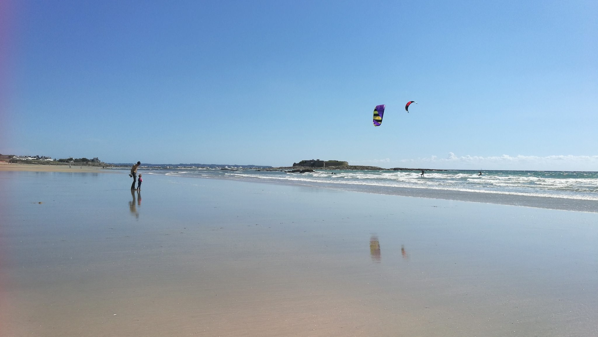
Discover the coastal road of Lorient Bretagne Sud, between Guidel-Plages and Larmor-Plage, via Plœmeur, enjoy the landscape and wide, sandy beaches as far as the eye can see.
Taking the RD29, you will drive along a large part of the coast and have the chance to see a variety of landscapes: beaches, dunes, cliffs, seaside resorts, ports …
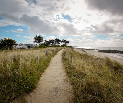
You can also follow this route on foot along the coastal path, the GR34 of along the greenway connecting Guidel to Kerroc’h.
Guidel, surf town
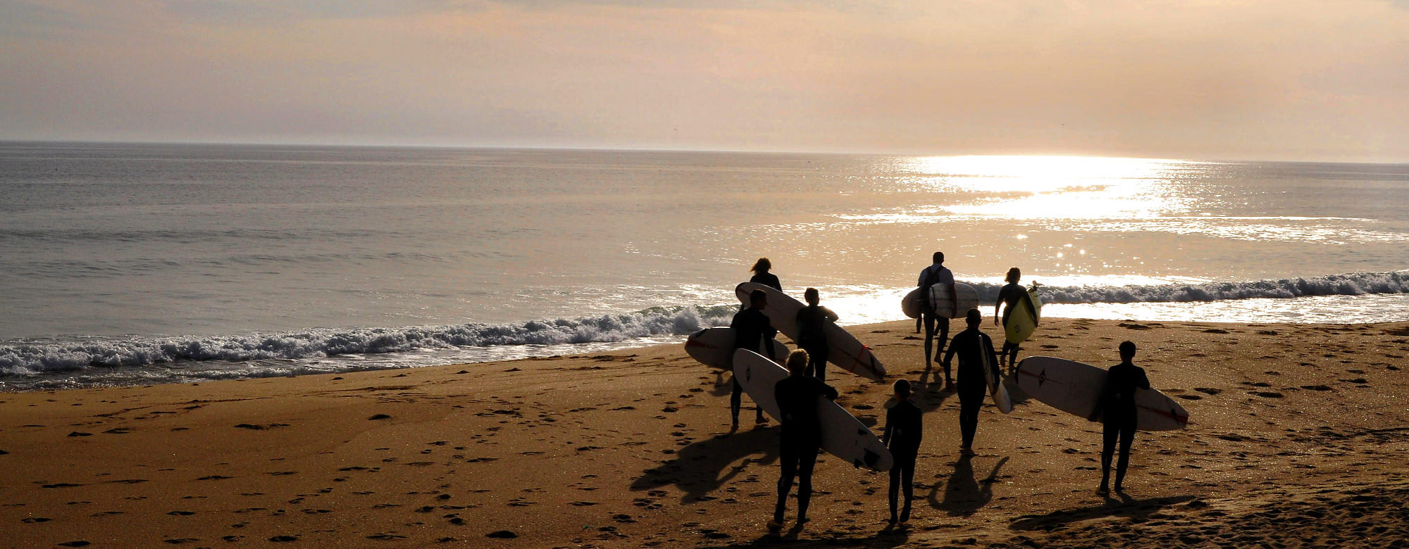
Let’s start from Guidel-Plages: after the estuary of the Laïta and the view of the department of Finistère on the opposite bank, you see wide expanses of sand. These beautiful beaches are visited all year round. You can see bathers there in the summertime. And, in all seasons, surfers and kite surfers. Since 2015, the town of Guidel has had the label “Surf City” 2 stars.
Discover also the beaches of Bas-Pouldu (and the kids’ games), la Falaise, Pen Er Malo, Le Loch and Fort-Bloqué.
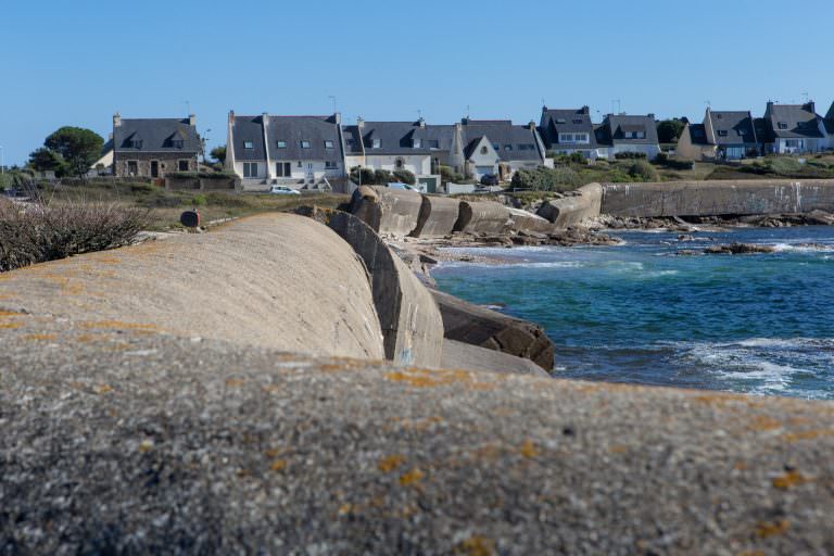
You can also see old bunkers, dating from the Second World War, all along the coastal road. They were used to protect the entrance to the bay of Lorient and in particular its submarine base. Some remains of the Atlantic Wall are also visible at Le Courégant.
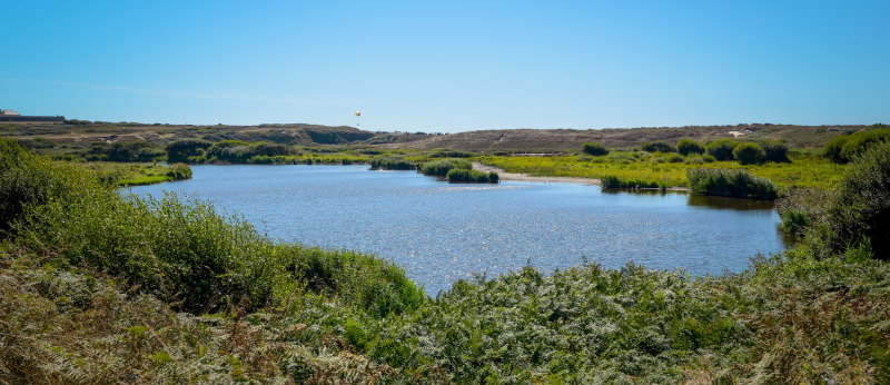
On the other side of this road, are wilder and more natural landscapes such as the Grand Loch Marsh Nature Reserve (dominated by the Fort du Loch).
The Fort du Loch, owned by Lorient Agglomeration, regularly hosts exhibitions. It can also be visited on Heritage Day.
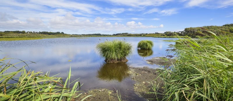
On the coastal road, between Guidel and Ploemeur, you can stop and follow the paths to discover small lakes, including Lannenec lake, the largest body of water on the Morbihan coast, which is home to many plant and animal species, some protected.
Le Fort-Bloqué and Plœmeur
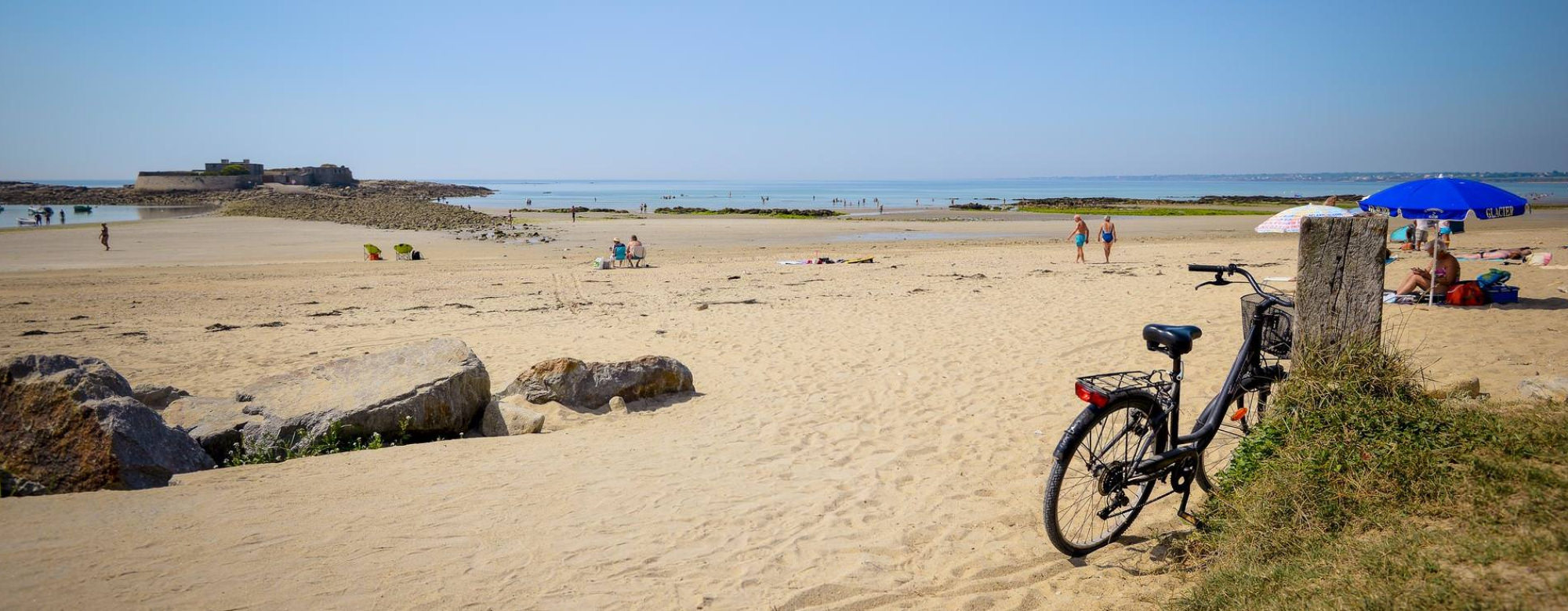
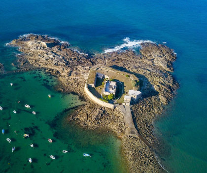
The town of Plœmeur starts at the “border” of Fort-Bloqué. This fort, also known as Fort Keragan, is now privately owned. Its main purpose was to protect the bay of Lorient from attack by English ships during the time of the French East India Company.
It’s accessible at low tide, but keep an eye on the time because the tide comes in fast and you could get stuck!
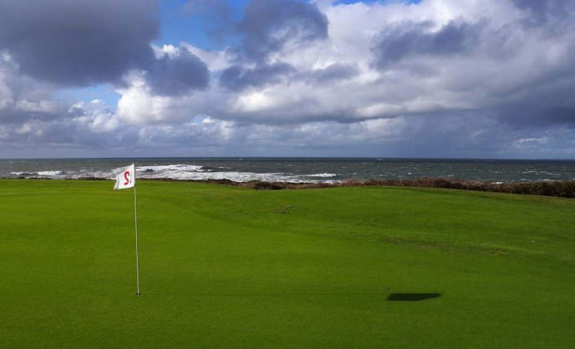
As you continue, you will pass along Ploemeur Océan golf course and the kaolin quarry, used for the manufacture of porcelain and ceramics (it supplies two thirds of French production) before arriving at the small seaside resort of Le Courégant. Sometimes the quarry is open to visitors. A quick coffee break or a meal, anything’s possible!
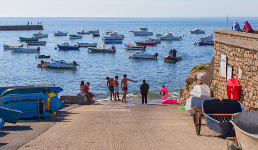
Continuing on the right, you leave the RD29 and head for Kerroch and its small port. You can see the Pointe du Talud, from where you can admire a view of the whole island of Groix. Say goodbye to the great expanses of sand and then admire all the little coves along the coast.
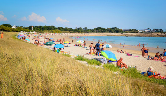
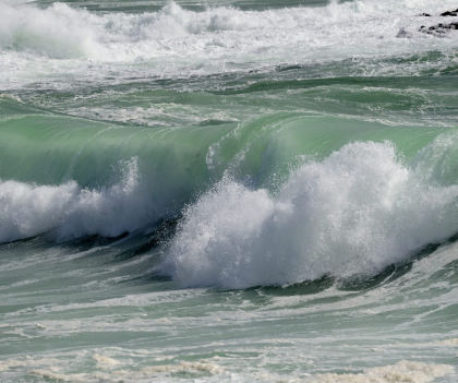
Continuing on, you eventually arrive in Lomener. The harbour is quite a sight in big storms with very impressive waves. This is a pleasant and bustling seaside resort in the summer. From the Anse du Stole beach (accessible to people with reduced mobility) you will be able to see the Kerpape Mutual Centre for Functional Re-education and Rehabilitation: recognized for the quality of its care, it is a physiotherapy centre for top sportsmen and women.
Larmor-Plage
Continuing your route, you arrive in the commune of Larmor-Plage and the Kerguelen ocean park, comprising over a kilometre of beach and large dunes organised around two former marshes. On Kerguelen beach, you will find the Kerguelen Sports Ocean (formerly Kerguelen Nautical Centre), the leading French sailing school.
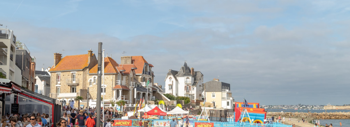
Further on, you arrive in the town of Larmor-Plage, a beautiful seaside resort with many villas, bars and restaurants on the promenade of Port-Maria.
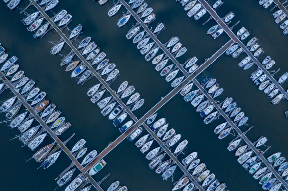
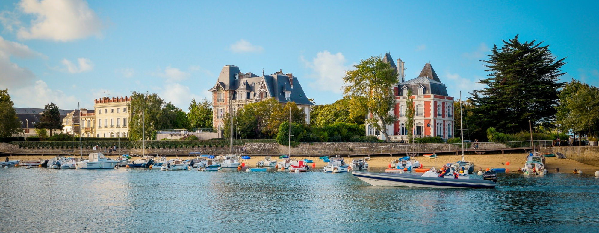
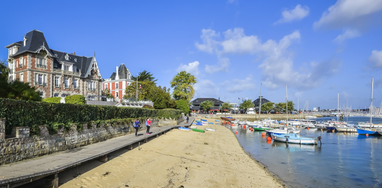
Continuing, you pass the beaches of Toulhars and Nourriguel before arriving at Kernevel marina and its magnificent villas dating from the second half of the 19th century: the villas Margaret, Kerozen and Kerlilon (the latter is inhabited by the Admiral; it can be visited during the Heritage Days).
Villa Margaret, which today belongs to Lorient Agglomeration, houses the offices of the Sellor (a semi-public company of Lorient Agglomeration, which manages the marinas, among other things) and a very nice pub on the ground floor, the “Villa Margaret“. The other two villas belong to the French Navy.
The next and final leg of the route is Le Ter lake, a beautiful place to take a relaxing walk.
- Share:
